


The Mojave Desert
Located primarily in Eastern California, the Mojave Desert spans over 47,000 square miles (124,000 km2). Elevations range from the lowest in the western hemisphere, with Badwater in Death Valley at -282 feet (-86m), to over 11,900 feet (over 3,633m) at Charleston Peak.
Life in the Mojave
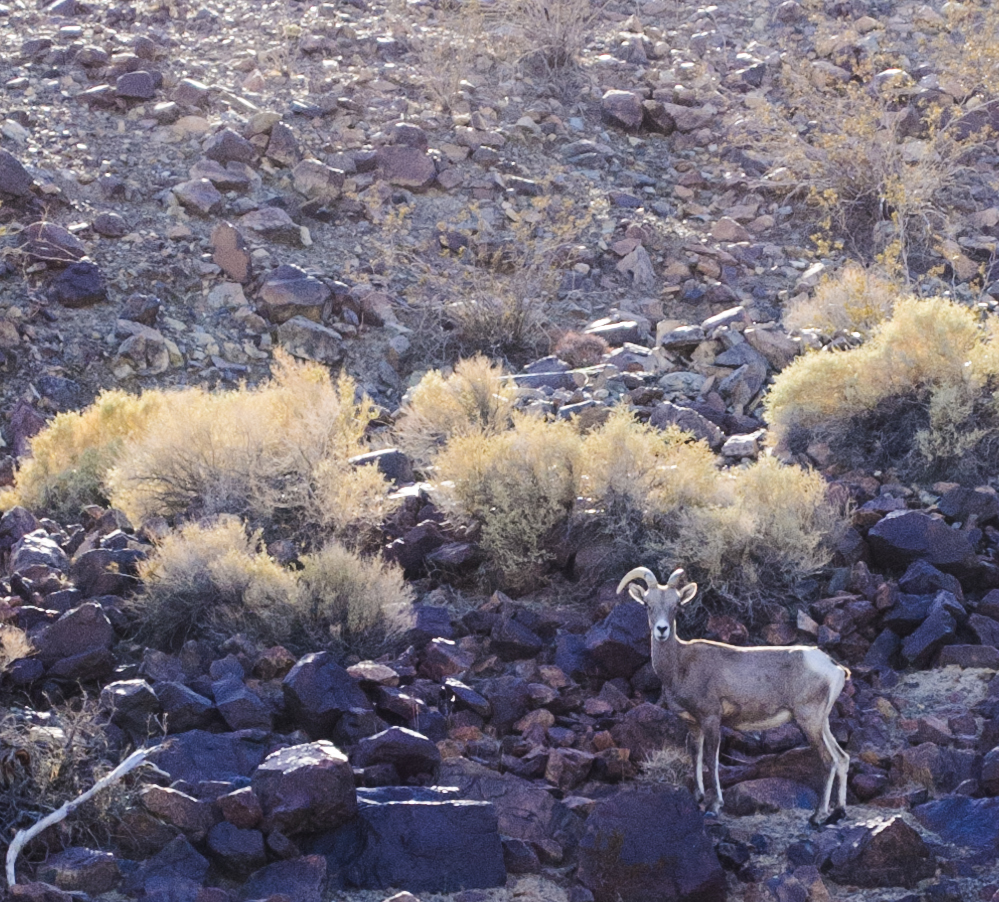
The common perception of deserts as barren, inhospitable places is quickly abandoned after a visit to the Mojave. Life has found a way to flourish even in one of the planet's most challenging environments. Extreme temperatures, scarce water, and even human activities make the desert a difficult place to live. In spite of this, environments from sand dunes to lava flows are home to bighorn sheep, cougars, birds, tortoises, coyotes, a variety of insects, and more. Iconic Joshua Trees and forbidding barrel cacti dot the landscape, and spectacular desert storms roll across the landscape with surprising intensity. The creatures and plants of the desert have evolved perfectly for their beautiful and unique home.
Mission Mojave 2014-2015
Mission Mojave is targeting a square kilometer of the Mojave Desert for cataloging, analysis, and eventual replication of the environment. We successfully completed our first field season in March and April of 2014. Our field operations base is the Desert Studies Center located near Baker, California at Soda Springs. We were joined in the field by 20 volunteer researchers, including undergraduate and graduate students, university professors, and industry professionals. We collected over 500 discrete observations of the target area's biology, geology, hydrology, and atmosphere. In the initial 2 weeks of field work, we completed approximately 14% of the target kilometer. Subsequent field seasons will be held from October 2014-April 2015. We are currently compiling our data into a publicly-accessible form that can be used in classrooms, for scientific study purposes, or just for fun and curiosity.
Click here for information on how you can join us in the field.
“When we try to pick out anything by itself, we find it hitched to everything else in the Universe.”

Environmental Cataloging
The first stage in making a blueprint of a chosen environment is to catalog everything in the area. This work covers the biologic, geologic, hydrologic, and atmospheric components of the environment.
Connecting The Dots
After completely cataloging an environment, we will then connect the pieces into functional systems. Identifying how these systems work together simultaneously to sustain life is critical for us.
Using The Blueprint
Once we understand what makes up an environment and how everything in that environment is connected, we are ready for the true challenge. Our new blueprint will be put to the test, and we will attempt to reproduce the environment in an artificial location, such as a specially outfitted warehouse. If we are successful, this will pave the way for recreating Earth's environments in unusual places...areas that have changed due to climate shifts, the bottom of the ocean, on space vehicles, or even on other planets.


Cataloging Teams
6-12 Researchers per Specialization Area
These teams serve as the eyes and ears of Blueprint Earth. They are the boots on the ground, the people whose observations and data collection will make the whole project possible.
Cataloging teams are composed of talented undergraduate and graduate students who would like to gain field research experience under the supervision of Blueprint Earth scientists.
Supervisory Scientists
Leaders of Cataloging Teams
These scientists serve as the circulatory system of Blueprint Earth. They provide guidance and structure for our Cataloging Teams both in the field and prior to the start of cataloging.
Supervisory scientists enjoy field work and mentoring the next generation of scientists. They are responsible for data quality and control during and after the cataloging process.
Environmental Architecture Panels
Interdisciplinary Teams of Leading Scientists, Engineers, and Systems Specialists
These panels function as the brain of Blueprint Earth. They include respected members of individual scientific and engineering fields who enjoy working with top members of fields other than their own area of specialization. The panelists are tasked with connecting all of the elements of the target environment into a series of related systems. Their work will produce the blueprints at the core of the Blueprint Earth.